by druid | Dec 28, 2021 | Map of China
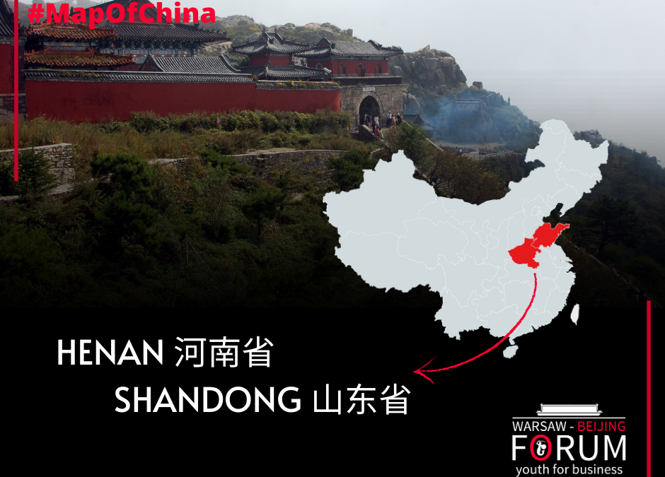
Shandong 山东 Shandong is a province on the east coast of China, on the Yellow Sea. With a population of around 98 million, it is the second largest province in China, second only to neighboring Henan. The capital city is Jinan. The historical name of the province, Lu,...
by druid | Dec 28, 2021 | Map of China
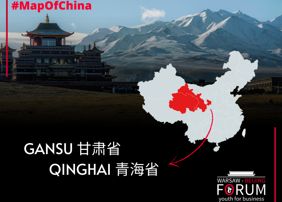
Qinghai 青海 On the Rooftop of the World. Qinghai is a relatively recent and sparsely populated northwestern province of China. The province derives its name, meaning “blue sea”, from its huge inland lake. Qinghai Lake (known as Koko Nor). is the largest saltwater lake...
by druid | Dec 28, 2021 | Map of China
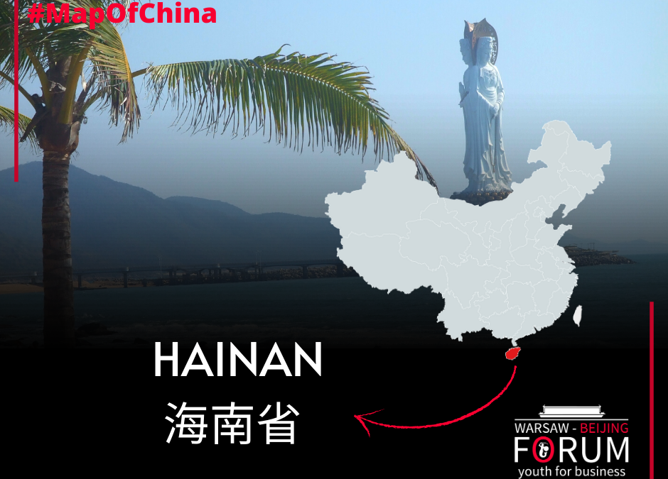
Hainan 海南 Hainan is an island that is the southernmost province of China. Since 1988, it has been performing an extremely important function of a special economic zone. It has about 34 thousand square kilometers and over 9 million inhabitants. Due to its tropical...

by druid | Dec 28, 2021 | Map of China
Fujian 福建 Fujian is a mostly mountainous province on the southeastern coast of China, as well as one of China’s key forest regions. Traditionally said to be “eight parts mountain, one part water, and one part farmland” (八山一水一分田) is classified among the...

by druid | Dec 28, 2021 | Map of China
Until the reign of the Kangxi Emperor (1661-1722) of the Qing dynasty, Hubei and Hunan once formed a single province – Huguang. Both past and present names originate from the location relating to Dongting Lake (洞庭湖 Dòngtíng Hú): north of the lake, south of the lake...
Recent Comments